Seite wählen

Die Castamap-Alternative: Printmaps.net

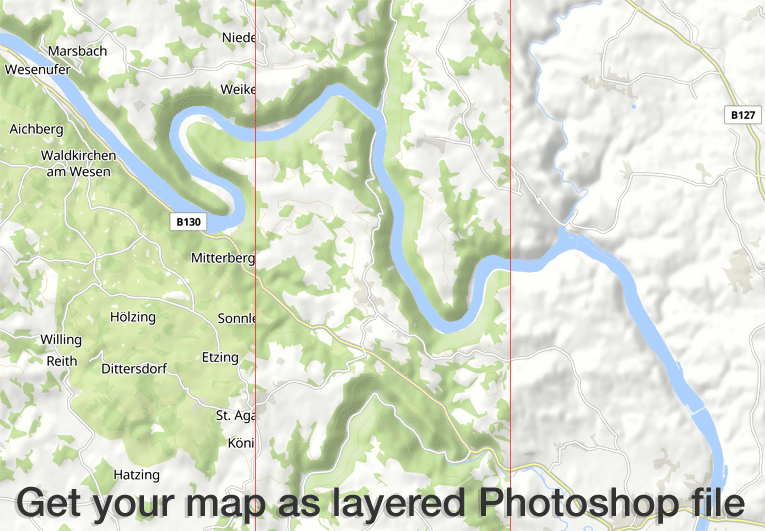
Falls Sie schon mit Castamap gearbeitet haben, haben Sie sicherlich großes Interesse daran zu sehen, wie sich die Funktionen von Castamap von Printmaps-Funktionen unterscheiden.

Wir haben zu diesem Zweck eine Tabelle erstellt, die Ihnen einen die größten Unterschiede zu den Funktionen des Printmaps-Editors zeigen soll. (Sie können den Editor hier ausprobieren.)

Format

PrintmapsSVG, PSD, PNG 

Castamap:
SVG, PNG

Pricepoint

Printmaps: starting at €7.14 (incl. VAT)

Castamap: starting at €29 (incl. VAT)

Custom Data


Printmaps

  • Route editor
  • Geographic shapes
  • File Upload (gpx/kml/geojson)
  • POIs (manually or copy/paste from Excel)

CastamapSymbols, text and drawings


Output Size


PrintmapsMaximum 7808 x 7808px respectively 66 x 66cm (PSD, SVG)

CastamapMaximum 3600 x 3600px

Maximum 30,5 x 30,5 cm

Show/hide map features?


Printmaps: yes
 
Castamap: yes

Rotate or tilt map?


Printmaps: yes
 
Castamap: no

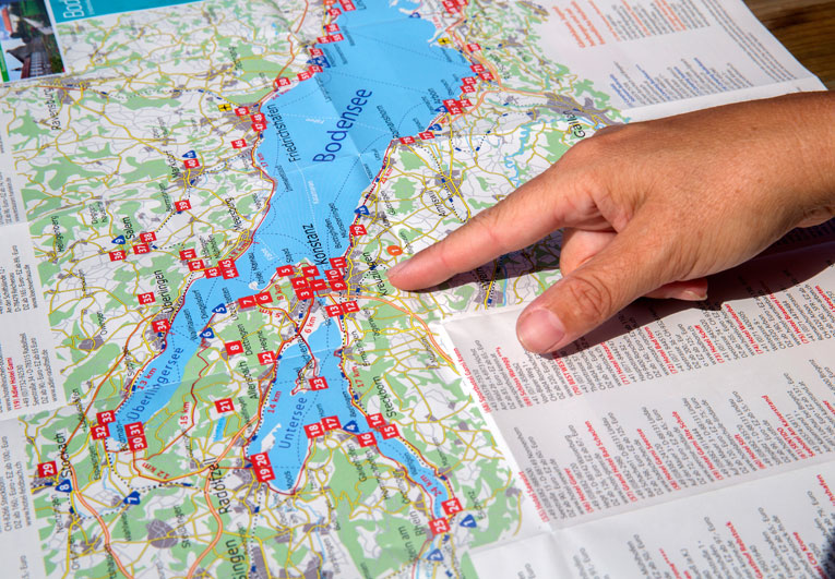
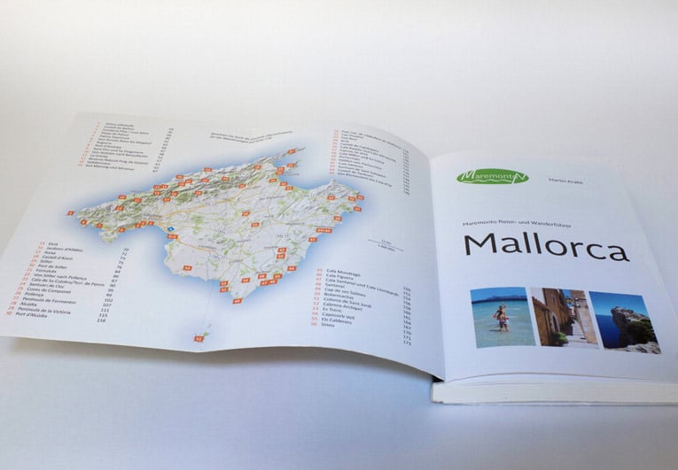
Wie unsere Karten verwendet werden

The Printmaps editor produces high-res 300 dpi maps in PNG and PSD (Photoshop) format. All map features come in separate Photoshop layers, so you can edit map features without damaging any features underneath. See our screencast for more details.

Our customers use the Printmaps editor to effortlessly map routes – travel itineraries, hike and cycle trails, city walks or simply directions – and to overlay their points of interest on a map. The editor makes it really easy to create fold maps, maps for touristic folders and brochures or guide book maps.

Our cheap entry level pricing enables customers with very low print circulation numbers to afford our maps. Typical examples include real estate exposés and photo books, printed in low numbers but needing high quality location or route maps.

Many guide book publishers illustrate their travel guides and hiking guidebooks entirely with Printmaps maps. You can satisfy all typical mapping needs with our maps, ranging from overview maps and general location maps to activity maps with hiking or cycle routes, city maps / street maps to direction maps.