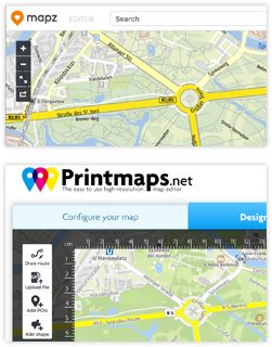
Si vous avez travaillé avec Mapz.com des cartographes renommés Kober-Kümmerly+Frey, vous serez intéressé de voir comment Printmaps.net se compare à Mapz.
Nous avons créé le tableau de comparaison ci-dessous pour vous donner un aperçu rapide de certaines des fonctionnalités les plus importantes de l’éditeur de cartes Printmaps et de leur comparaison avec Mapz.com. Assurez-vous de jeter un œil à nos exemples d’utilisation de Printmaps.net sous notre tableau de comparaison. (Essayez l’éditeur ici.)
| Printmaps | Mapz.com | |
|---|---|---|
| Format | SVG, PSD, PNG | PNG, JPG, PSD, PDF |
| Résolution | 75 / 300 ppi, Vecteur | 100 / 200 / 400 ppi, Vecteur |
| Niveau de prix | À partir d’environ 7 euros, le modèle de prix dépend du format du fichier et du nombre d’exemplaires de la carte. Par exemple : PNG 22 x 22cm, 300dpi, 35.000 exemplaires = €39,27 (TVA incluse) | Cela dépend de la taille, de la résolution et du format de la carte. Par exemple : PNG 22 x 22cm, 400dpi = €299.50 (TVA incluse) |
| Données personnalisées | * Éditeur d’itinéraires * Formes géographiques * Téléchargement de fichiers (GPX/KML/GeoJSON) * POIs (manuellement ou copier/coller depuis Excel) | * Téléchargement de fichiers (GeoJSON, CSV) * Outils de dessin standard |
| Afficher/masquer les caractéristiques de la carte ? | Oui | Non |
| Rotation de la carte? | Oui | Non |
Certains des moyens d’utilisation de nos cartes imprimables sont les suivants :
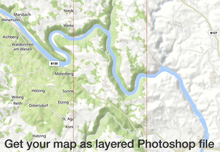
L’éditeur Printmaps produit des cartes haute résolution de 300 dpi au format PNG, PSD (Photoshop) et SVG. Toutes les caractéristiques de la carte sont présentées dans des couches séparées, ce qui vous permet de modifier les caractéristiques de la carte sans endommager celles qui se trouvent en dessous.
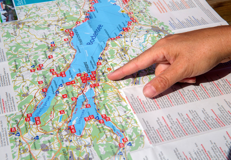
Nos clients utilisent l’éditeur de Printmaps pour cartographier facilement des itinéraires – itinéraires de voyage, sentiers de randonnée et de vélo, promenades en ville ou simplement des directions – et superposer leurs points d’intérêt sur une carte. L’éditeur facilite vraiment la création de cartes pliables, de cartes pour des dossiers touristiques et des brochures, ou des cartes de guide.

Nos prix d’entrée de gamme permettent aux clients dont les tirages sont très faibles de s’offrir nos cartes. Parmi les exemples typiques, citons les expositions immobilières et les livres de photos, imprimés en faible quantité mais nécessitant des cartes de localisation ou d’itinéraire de haute qualité.
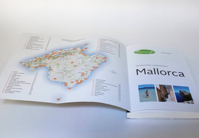
De nombreux éditeurs de guides de voyage illustrent entièrement leurs guides de voyage et guides de randonnée avec des cartes de Printmaps. Vous pouvez satisfaire tous les besoins typiques en matière de cartographie avec nos cartes, allant des cartes générales et de localisation aux cartes d’activités avec des itinéraires de randonnée ou de vélo, en passant par les plans de ville / plans de rue et les cartes d’orientation.
Essayez Printmaps
Notre éditeur de cartes vous permet de créer des cartes imprimables dans le monde entier en un rien de temps.