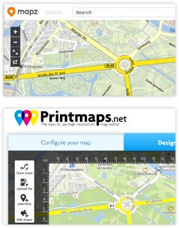
Se ha lavorato con Mapz.com dei rinomati cartografi Kober-Kümmerly+Frey, sarà interessato a vedere come Printmaps.net si confronta con Mapz.
Abbiamo creato la seguente griglia di confronto per fornirle una rapida panoramica delle caratteristiche più importanti dell’editor di Printmaps e come si confrontano con Mapz.com. Assicurati di dare un’occhiata agli esempi di come Printmaps.net viene già utilizzato di seguito alla nostra tabella di confronto. (Prova l’editor qui.)
| Printmaps | Mapz.com | |
|---|---|---|
| Formato | SVG, PSD, PNG | PNG, JPG, PSD, PDF |
| Risoluzione | 75 / 300 ppi, Vettore | 100 / 200 / 400 ppi, Vettore |
| Prezzo | A partire da circa 7 euro. Il modello di prezzo dipende dal formato del file e dal numero di copie per cui la mappa viene utilizzata. Ad esempio: PNG 22 x 22cm, 300dpi, 35.000 copie = € 39,27 (IVA inclusa) | Dipende dalle dimensioni, dalla risoluzione e dal formato della mappa. Ad esempio: PNG 22 x 22cm, 400dpi = €299,50 (IVA inclusa) |
| Dati personalizzati | * Editor di percorsi * Forme geografiche * Caricamento di file (GPX/KML/GeoJSON) * POI (manualmente o copiando/incollando da Excel) | * Caricamento di file (GeoJSON, CSV) * Strumenti di disegno standard |
| Mostrare/nascondere le caratteristiche della mappa? | Sì | No |
| Ruotare la mappa? | Sì | No |
Alcuni dei modi in cui le nostre mappe stampabili vengono utilizzate
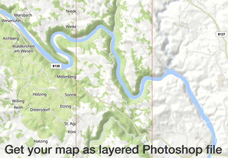
L’editor Printmaps produce mappe ad alta risoluzione a 300 dpi in formato PNG, PSD (Photoshop) e SVG. Tutte le caratteristiche della mappa sono in livelli separati, in modo da poter modificare le caratteristiche della mappa senza danneggiare le caratteristiche sottostanti.
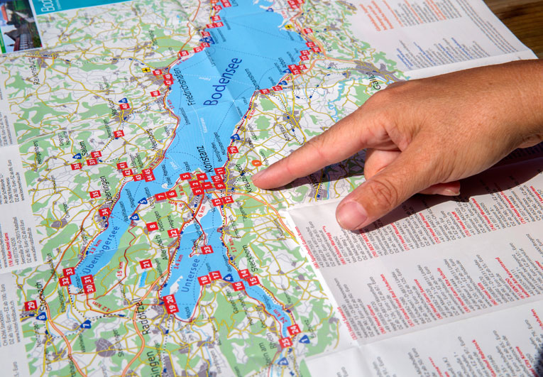
I nostri clienti utilizzano l’editor di Printmaps per mappare facilmente percorsi – itinerari di viaggio, sentieri escursionistici e ciclabili, passeggiate in città o semplicemente indicazioni – e sovrapportare i loro punti di interesse su una mappa. L’editor rende davvero facile creare mappe pieghevoli, mappe per opuscoli turistici e brochure o mappe per guide.

Il nostro prezzo di base conveniente consente ai clienti con tirature molto basse di permettersi le nostre mappe. Esempi tipici sono le esposizioni immobiliari e i libri fotografici, stampati in numero ridotto ma che necessitano di mappe di luoghi o percorsi di alta qualità.
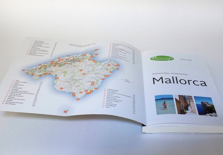
Molti editori di guide turistiche illustrano completamente le loro guide turistiche e guide escursionistiche con le mappe di Printmaps. È possibile soddisfare tutte le esigenze tipiche di mappatura con le nostre mappe, che vanno dalle mappe panoramiche e mappe di localizzazione generale alle mappe di attività con percorsi escursionistici o ciclabili, mappe cittadine / mappe stradali a mappe di direzione.
Provate Printmaps
Il nostro editor di mappe vi permette di creare mappe stampabili in tutto il mondo in pochissimo tempo.