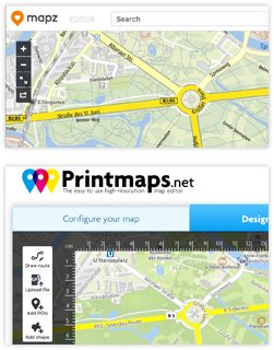
Falls Sie schon mit Mapz.com des bekannten kartografischen Verlags Kober-Kümmerly+Frey gearbeitet haben, haben Sie sicherlich großes Interesse daran zu sehen, wie sich die Funktionen von Mapz von Printmaps-Funktionen unterscheiden.
Wir haben zu diesem Zweck eine Tabelle erstellt, die Ihnen einen die größten Unterschiede zu den Funktionen des Printmaps-Editors zeigen soll. (Sie können den Editor hier ausprobieren.)
| Printmaps | Mapz.com | |
|---|---|---|
Format | SVG, PSD, PNG | PNG, JPG, PSD, PDF |
Auflösung | 75 / 300 ppi, Vektor | 100 / 200 / 400 ppi, Vektor |
Preis | Abhängig von Dateiformat und Druckauflage. | Abhängig von Größe, Auflösung und Dateiformat der Karte. |
Eigene Daten | * Routeneditor | * Datei-Upload (GeoJSON, CSV) |
| Kartendetails zeigen/verbergen? | Ja | Nein |
| Karte kippen oder drehen? | Ja | Nein |
Wie unsere Karten verwendet werden
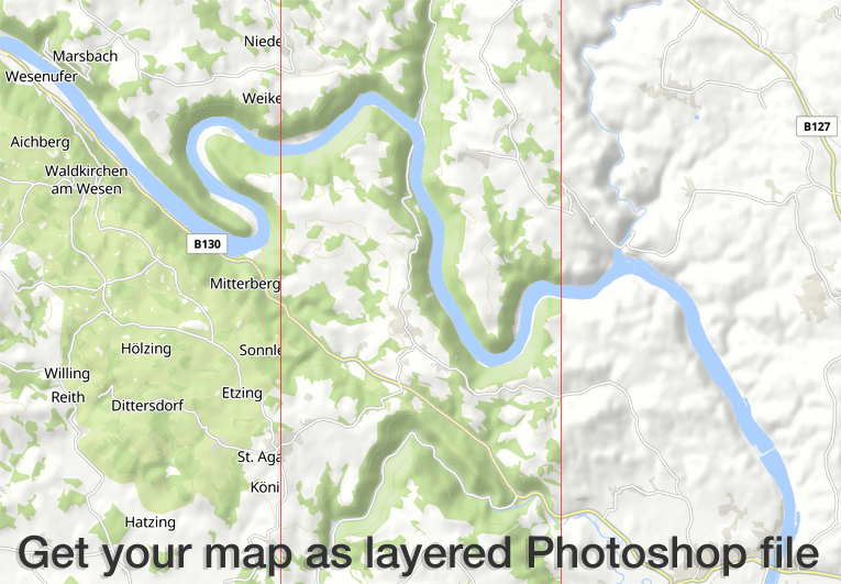
Der Printmaps-Editor erstellt Vektor-Kartografie und hochauflösende 300 dpi Karten im PNG oder PSD (Photoshop) Format. Karten-Elemente in PSDs und SVGs werden in separaten Ebenen gespeichert, um keine darunterliegenden Elemente zu beschädigen.
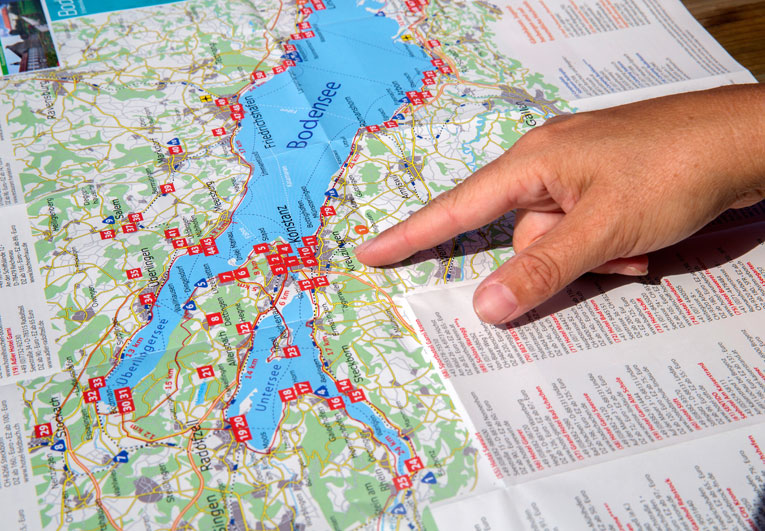
Unsere Kunden verwenden Printmaps um auf einfache Art und Weise Routenkarten zu erstellen – Reisepläne, Wander- oder Farradpfade, Stadtrundgänge oder Orientierungskarten – und diese dann mit eigenen Points of Interest zu versehen. Mit unserem Editor erstellen Sie spielend leicht Faltkarten, Karten für touristische Folder und Broschüren oder Reiseführerkarten.

Unsere günstigen Einstiegspreise sorgen dafür, dass unsere Karten auch für Kunden mit niedrigen Auflagen leistbar sind. Typische Beispiele sind Immobilienexposés sowie Fotobücher, welche in niedriger Auflage gedruckt werden, aber dennoch hochqualitative Landkarten benötigen.
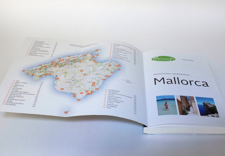
Viele Reiseführerverlage illustrieren Ihre Reise- und Wanderführer vollständig mit Karten von Printmaps. Mit unseren Karten erfüllen auch Sie all Ihre kartographischen Anforderungen, von Überblickskarten zu generellen Ortskarten mit Wander- oder Fahrradkarten, Stadtkarten, Straßenkarten oder Orientierungskarten.
Probieren Sie Printmaps
Mit unserem Karteneditor können Sie in kürzester Zeit weltweit druckbare Karten erstellen.