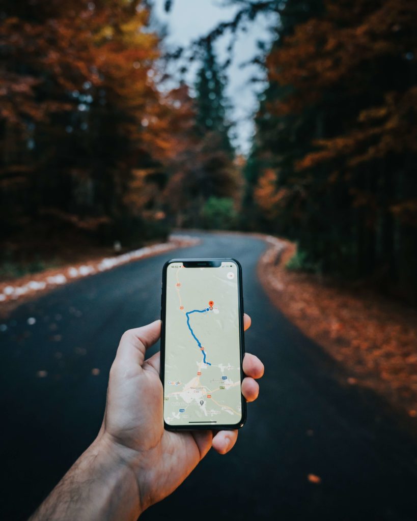
Create hiking trail wall art, cycling route or marathon map prints easily yourself with the Printmaps editor. Upload your route and create personal running app prints.
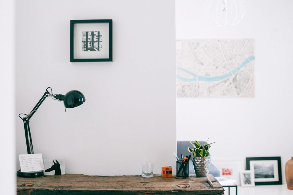
The sound of your feet falling on the path, the fresh forest air in your nostrils, the meditative silence interrupted occasionally by birds chirping, how often do your thoughts drift away to your favorite run? Isn’t only the thought of it so very satisfying? Perhaps one should remind and reward themselves more often for their exercising. Why don’t you eternalize your strava route prints in a frame or on the wall? Add your fastest time, celebrate your accomplishment and remind yourself within your own home. Who knows, it might even spark your motivation to go more often!
While others help customers give another dimension to their strava routes in all sorts of creative forms, with Printmaps you can do it yourself! The Printmaps editor allows you to upload recorded routes (KML, GPX, GeoJSON) to high resolution maps, suitable for print. Pick the map style of your favorite app and print the route exactly as displayed there. Would you like to print your cycling tour in France? Simply download the GPX from Bikemap and upload it in the Printmaps editor. Same for Komoot tour prints, or your favorite run in the neighbourhood you recorded in Strava. Because Printmaps are 300dpi they can be printed in poster format and you won’t lose any detail in the map.
Try Printmaps
Our map-editor lets you create printable maps worldwide in no time.
Create your marathon map print or any other Strava route prints in 5 simple steps:
1. Record your route or download a recorded route to your computer
2. Upload that route to the map in the Printmaps editor
3. Finalize your map in the editor
4. Have your map printed, flat or on canvas
5. Frame the map and hang on the wall
How to upload GPX, KML or GeoJSON files to the map, for instance with a recorded route. Find out about the other features.
Recent Comments