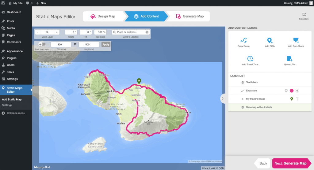
The Static Maps Editor Plugin allows you to create personalized, non-interactive “static” maps with ease. Change the map style, add routes, points of interest, and geo-shapes to your fully customizable maps using the map editor hosted by Printmaps.net and plug them into your WordPress site in no-time. Keep reading to find out what the Static Maps Editor can do for you or access the WordPress Plugin download via the button below.
Why should I use the Static Maps Editor?
1. The First WordPress Plugin for Editing Non-Interactive Maps
While there are dozens of plugins on WordPress to pick and choose from to fit your needs for interactive maps, the Static Maps Editor is the first plugin that allows you to edit maps all within your WordPress back-end.
2. Save Time Without Losing Quality
If you need maps often for your travel blog, real estate listings or tourism website, you can shave a significant amount of time off your workflows by getting rid of the extra steps in between. Making maps with the Static Maps Editor simple and fast. Spend all that extra time on refining your maps to your heart’s content and create eye-catching artworks for the benefit of your audience or customers.
3. Add Value to Your Content
Appealing static maps can improve the reader’s experience by providing visual context to your articles, helping readers visualize places mentioned. They can simplify complex information, show travel routes, showcase geographical locations and make the content more engaging.
4. Create More Traffic for Your Site
SEO is an important topic for owners of website-domains wishing to increase or maintain traffic. If done correctly, static maps can help you do just that. The finished maps are saved in your WordPress Media Library as PNGs, which you can integrate into your pages above the fold to provide content variety for the Google search algorithm and integrate an alt-text to strengthen the key-terms which your site can be found for. Additionally, the static maps will show up in the Google Images search, which will provide an additional avenue for potential readers.
5. Keep Your Website Fast
As we know, nothing will deter a willing reader as quickly as a website that does not load quickly. Static maps load as quickly as any other png and don’t strain your site unnecessarily and keep it as fast as ever.
How to use the Static Maps Editor:
- Follow the download instructions in the WordPress Plugin Directory
- Create and customize maps to your heart’s content
- Map images are stored and hosted by your WordPress installation, within your Media Library
- All images are stored locally in your upload folder, as usual
Editor Features:
- Map globally
- Choose between different map styles
- Create routes
- Mark points on the map with pins
- Highlight geographic areas
- Show elevation
- Personalize the design
- Tilt or rotate
Static Maps Editor is compatible with all other plugins that handle images and 100% GDPR compliant.
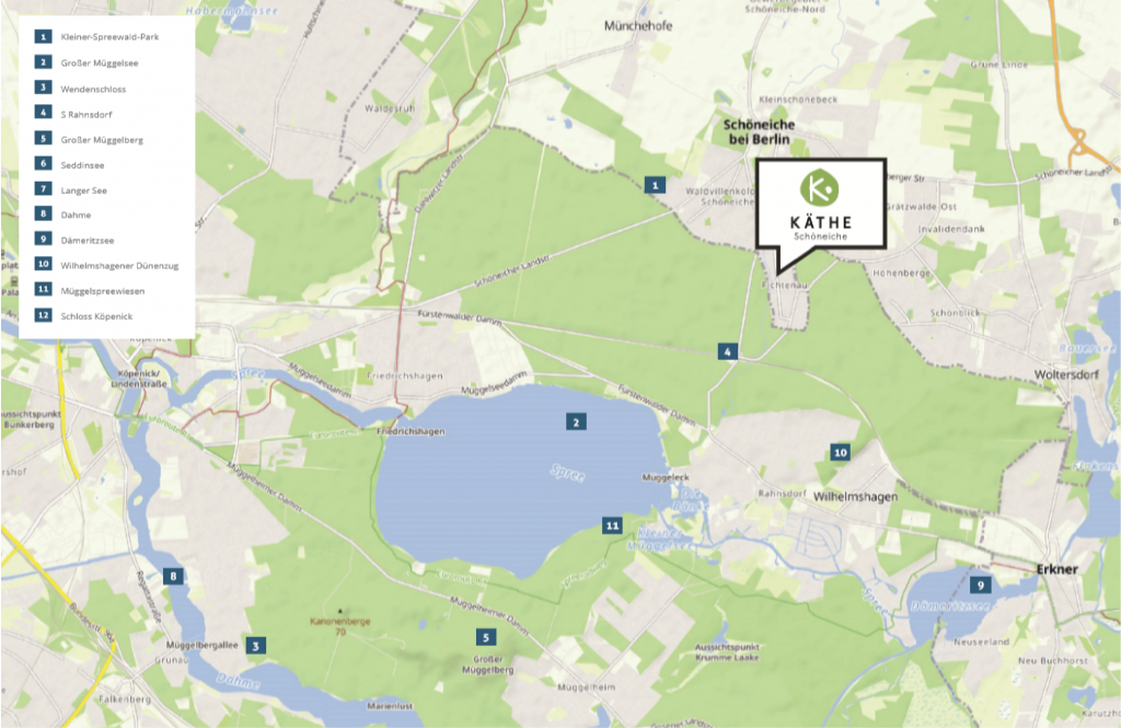
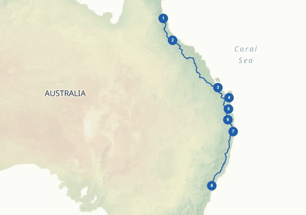
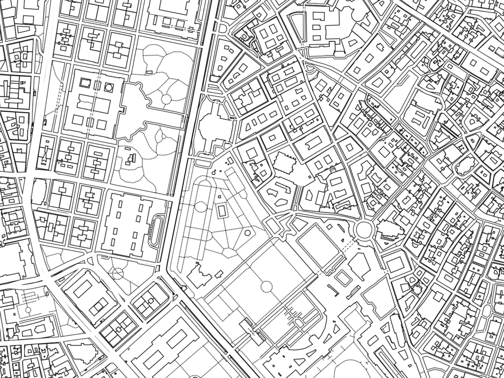
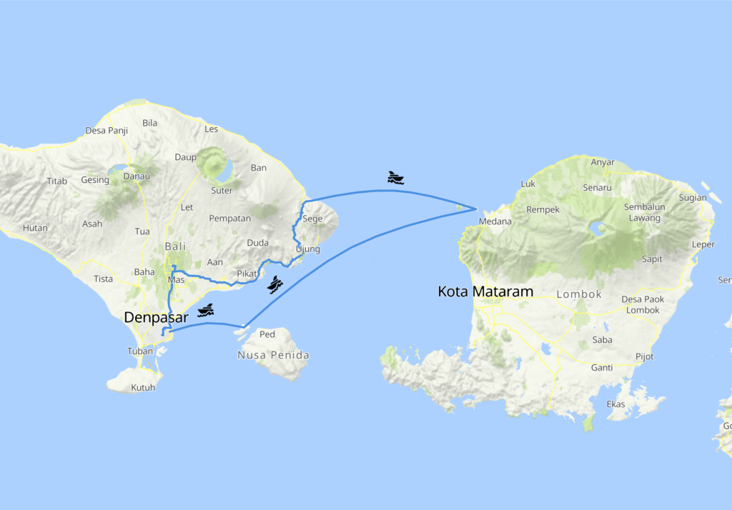
Examples created with Static Maps Editor plugin:
Recent Comments