Printmaps, the online vector map maker, allows you to create your own customized maps in high resolution, without the need for any GIS or cartography knowledge. Export your maps as layered SVG Vector files or PSD files, tailored for post-processing in Adobe Illustrator, InDesign, Photoshop or Figma. Join a long list of Print Designers that already use Printmaps.
Why Vector Maps are Ideal for Graphic Designers
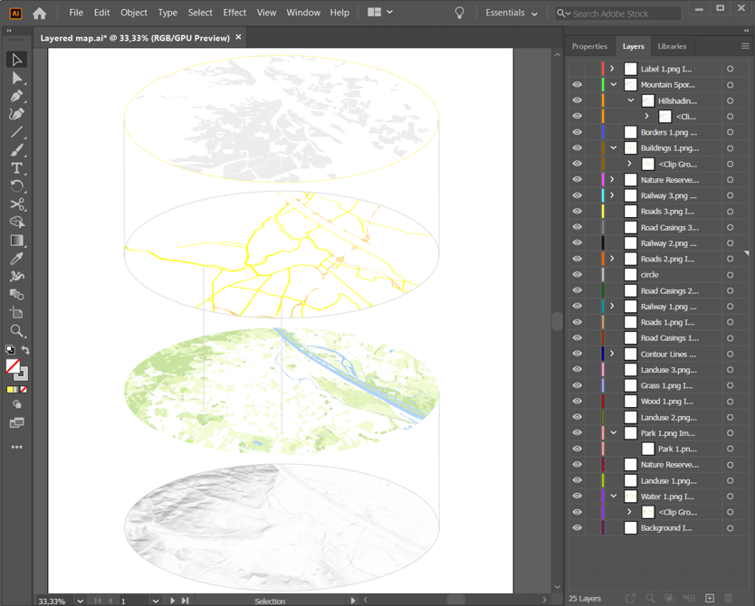
When working on professional layouts, whether they are digital or for print, having fully customizeable map files makes the design process significantly more flexible. SVG vector maps integrate naturally into tools like Illustrator, InDesign, or Figma, allowing every element to be scaled, styled, and refined without compromise.
For projects where pixel-based editing is preferred, layered PSD exports offer the same level of control within Photoshop. But for most design workflows, vector maps remain the most versatile option.
Supported file formats:
- PNG (300 dpi) up to 220 mm x 220 mm map size
- PSD (300 dpi) up to 660 mm x 660 mm map size
- SVG (scalable dpi)
Flexible for All Design Needs
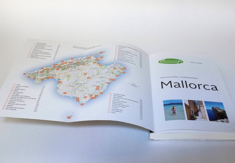
Our vector map creator is used by designers across industries. From editorial design to marketing materials, vector maps are a versatile foundation for a wide range of graphic projects. Magazine layouts often rely on clean, location-based visuals to accompany articles or travel features. Event posters benefit from simple, highly legible maps that guide attendees. In infographics, maps become part of the storytelling by visualizing data across regions, highlighting trends, or presenting comparisons at a glance.
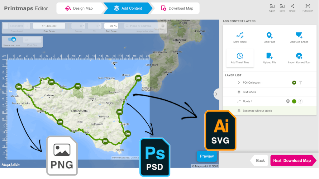
Features of our Vector Map Maker
- Online editor with worldwide coverage
- Choose between several default map styles
- Show or hide map elements and labels
- Add markers, routes and geo-shapes
- Upload GPX, KML or GeoJSON files
- Read more details here
Try Printmaps
Our map-editor lets you create printable maps worldwide in no time.
Recent Comments